
Delaware County ZIP Code Coverage
County GIS maps 24 ZIP labels across Delaware County. The labels include the county-seat area, unincorporated postal areas, and edges shared with nearby counties or municipalities. The table preserves the county GIS inventory and its boundary notes. A postal label is shown in the post-office column when the research did not document a named office.
| ZIP | Areas Covered | Post Office | Notes |
|---|---|---|---|
| 43003 | Northern county area | Ashley postal label | Cross-county geography |
| 43011 | East and northeast fringe | Centerburg postal label | Fringe area |
| 43013 | East fringe | Croton postal label | Fringe area |
| 43015 | County-seat city and central/north area | Delaware postal label | Does not define the county |
| 43016 | Southwest mapped area | Dublin postal label | Partial-city geography |
| 43017 | Part of the county's Dublin area | Dublin postal label | Dublin is partly in county |
| 43021 | East and central area | Galena postal label | Wider than the village |
| 43031 | East and southeast fringe | Johnstown postal label | Fringe area |
| 43035 | Central and south unincorporated area | Lewis Center postal label | Postal area, not a municipality |
| 43040 | West fringe | Marysville postal label | Fringe area |
| 43054 | Southeast and east fringe | New Albany postal label | Fringe area |
| 43061 | West and rural area | Ostrander postal label | Rural context |
| 43064 | Southwest and west fringe | Plain City postal label | Fringe area |
| 43065 | South-central area | Powell postal label | ZIP and city differ |
| 43066 | Northwest rural area | Radnor postal label | Rural postal area |
| 43074 | Southeast area | Sunbury postal label | Exceeds city limits |
| 43081 | South and southeast county portion | Westerville postal label | Partial-city geography |
| 43082 | South and southeast county portion | Westerville postal label | USPS office at 617 McCorkle Blvd. |
| 43235 | South and southwest fringe | Columbus postal label | Fringe area |
| 43240 | South fringe | Columbus postal label | Fringe area |
| 43334 | North and east fringe | Marengo postal label | Fringe area |
| 43342 | Northwest fringe | Prospect postal label | Fringe area |
| 43344 | Northwest fringe | Richwood postal label | Fringe area |
| 43356 | North and northwest fringe | Waldo postal label | Fringe area |
County GIS records location data; USPS decides current delivery assignment for an individual address. The map inventory is geographic context, not a mailing-address validator or a list of post offices.
Delaware ZIP Code Labels and City Lines
Delaware County has fully located cities of Delaware, Powell, and Sunbury. It also includes parts of Columbus, Dublin, and Westerville, along with villages such as Ashley, Galena, Ostrander, and Shawnee Hills, 18 whole townships, and part of Washington Township. Postal labels overlay that civic pattern. They cannot be used as a shortcut for municipal limits, county jurisdiction, school district, or a parcel's legal location.
The 43015 label is associated with Delaware and a central or northern county area, but it is not a county boundary. The Dublin labels 43016 and 43017, Westerville labels 43081 and 43082, and Columbus labels 43235 and 43240 show why a familiar mailing city can appear in only part of the county. Lewis Center and Radnor are particularly useful reminders that a postal name can describe delivery geography rather than an incorporated place.
Find Records Within a Delaware ZIP Code
No confirmed public Auditor ZIP filter or ZIP-based voter browse tool was found in the research. That limit matters. A ZIP is most useful after a known name or address gives a legitimate search point, not as a way to build a household list. The county map and property tools can then test the physical place, while USPS resolves the current delivery ZIP.
- Start with a complete address or a name tied to an address, and preserve the postal label exactly as it appears in the source.
- Use the County GIS ZIP and address-point layers to see the mapped parcel, nearby political boundaries, and the reported postal fields.
- Check the Auditor property search by address, owner name, or parcel number. Its documented fields do not include a ZIP filter.
- Use USPS ZIP Code Lookup for the current delivery assignment of the individual address.
- When a ZIP has narrowed a place to a street, use the Delaware street directory for the address-level record trail.
Ohio My Voter Information is a name-and-county confirmation service. Its required first name, last name, and county fields can return registration, precinct, and polling-location context for a matched person, but it is not a ZIP-wide directory. The County Board of Elections report route was under maintenance when reviewed, so its live fields, coverage, and fees are not represented as verified.
Note: A ZIP narrows map context; it does not prove ownership, residence, or a person's connection to every address carrying that label.
Delaware ZIP Code Context in Parcel Search
The Delaware County Auditor public property search begins with owner name, address, or tax parcel number. One primary field is required and the fields are not combined. A proper street suffix is expected for address work, while parcel-number dashes are stripped. The advanced search has municipality, township, school-district, street-name, subdivision, and property fields, but the research did not confirm a public ZIP search control.
| Auditor field | Type | Use after postal check | ZIP capability |
|---|---|---|---|
| Address | Text | Tests a known physical address with its proper suffix | No verified ZIP filter |
| Owner Name | Text | Tests a documented owner name | No verified ZIP filter |
| Tax Parcel Number | Text | Tests a parcel tied to the mapped location | No verified ZIP filter |
| Municipality or Township | Dropdown | Narrows civic geography | Not a postal field |
| Street Name or Subdivision | Text | Refines a known local place | Not a postal field |
Current result columns are Parcel Number, Owner Name, Address, Market Value, Conveyance Date, Year Built, Bedrooms, Baths, Finished Sq Ft, Acreage, and a photo URL. A parcel owner is not every household occupant. The inspected result schema did not expose mailing-address or exemption fields, so those should not be assumed from a result.
Delaware GIS Address Point Fields
County GIS layers include Parcel, Address Point, Street Centerline, ZIP Code, Township, PLSS, School District, Subdivision, MSAG, Annexation, Tax District, and Municipality. Address Points carry ZIP, ZIP+4, CITY, DEMANDCITY, full address, PARCEL_NO, subdivision, and coordinates. That combination is valuable for reading a place as several distinct fields rather than making one postal label stand for all of them.
GIS placement is not a survey guarantee. Its layers can help compare a parcel with a road, subdivision, or municipality boundary, then point research toward an Auditor record or Recorder instrument. For the ZIP layer itself, use the county data as mapped geography and preserve any uncertainty that remains in the source.
The County GIS frequently asked questions page is the source shown here.
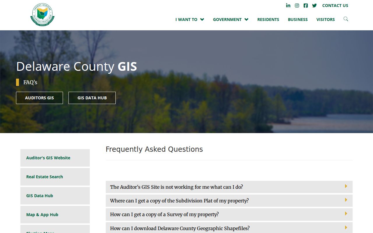
The GIS view supports a field-by-field comparison. It does not replace USPS delivery validation or a recorded legal description.
Confirm a Delaware ZIP Code with USPS
USPS ZIP Code Lookup is the final delivery check for a current individual address. Use it after preserving the address as written and after reviewing any county map context. An address may have a postal label, a city or township reference, a parcel situs, and a legal description that do not use the same words. Those differences need to remain visible rather than being silently standardized.
The county GIS list is especially helpful when a result looks inconsistent. It can show why a Delaware-associated label does not describe the whole county or why a Dublin, Westerville, or Columbus label appears in a Delaware County search. USPS decides the active delivery assignment, so recheck it when mail is recent or an address is changing.
The official USPS ZIP Code Lookup is the source shown here.
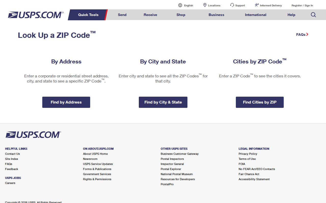
The USPS result answers a postal-delivery question. It does not supply a parcel owner, legal description, or complete household record.
Read Delaware ZIP Code Address Labels Together
Three labels often appear around the same Delaware County place. The situs address is the physical property location. A mailing address is where correspondence goes and can differ. The legal description is the lot, subdivision, or metes-and-bounds language recorded in a deed. ZIP data belongs with the mailing or delivery question, while the Recorder's instrument is the place to verify the legal description.
- ZIP code
- A USPS delivery-geography label used for mail routing. It is not a municipal boundary.
- ZIP+4
- An added delivery detail carried by the county Address Point layer, beyond the basic five-digit label.
- Postal label
- The place name associated with a ZIP in county mapping. It may differ from a city limit or township name.
- Situs address
- The physical location used for a parcel or property record, which can differ from its mailing address.
Note: Keep the source's original city, route, ZIP, and address wording in research notes before reconciling fields.
Delaware ZIP Code Directory Limits
A Delaware ZIP code directory organizes geography, not ownership or household membership. The Auditor connects a parcel to its current property record, and the Recorder connects recorded parties to an instrument and legal description. The Recorder's online real-estate documents are generally available from 1990 forward, while earlier material requires the Recorder's Office. Neither path should turn a postal label into a claim about every person at an address.
For a person-specific record, Ohio's voter lookup is limited to a name and county confirmation workflow, with protected fields and protected registrations excluded under R.C. 3503.13. Safe at Home participants may use a substitute address and protected registrations are not public. Respect those boundaries and verify factual questions through the office that holds the relevant record.